Alamere FallsA beautiful beach waterfall along the Point Reyes coastOn Sunday, January 6, 2002 we met at Dan's house and drove out to Point Reyes to try and reach Alamere Falls. There was dissension in the group as to whether the falls was accessible from the top or not... as you'll see, with good reason! Most photos can be clicked on for a larger version. Dan's photos are also available here. Photos not otherwise credited are © 2002 Leo Hourvitz |
above photo © 2002 Dan Lyke |
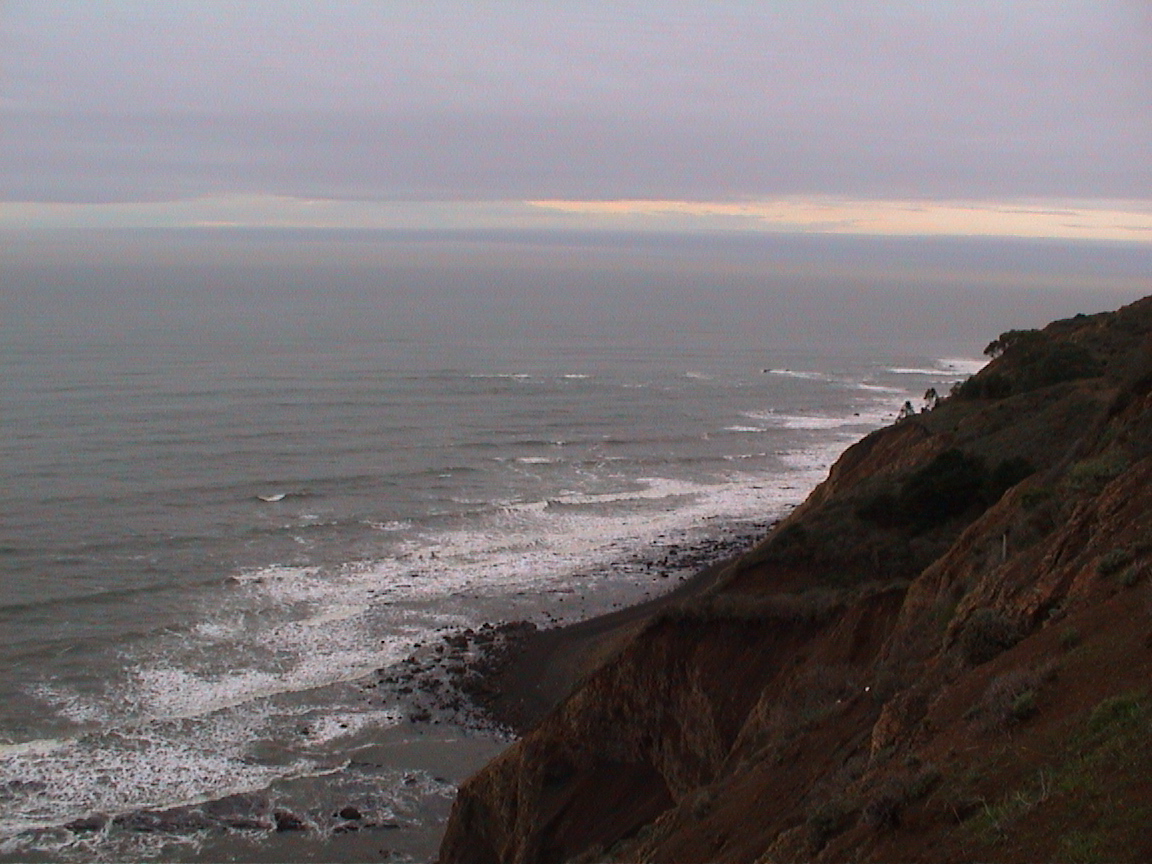 |
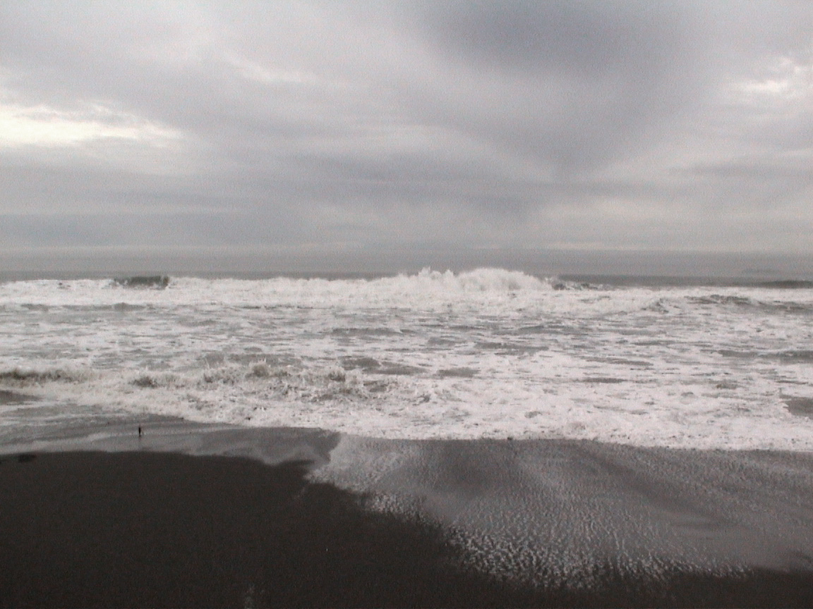
The starting point for this hike is the Palomarin trailhead north of Bolinas. Take Horseshoe Hill Rd. out of town to the north until it dead-ends into the parking lot, then head north along the Coast Trail. As you hike north, you'll have views like the one at left of the Pacific. |
The Pond
|
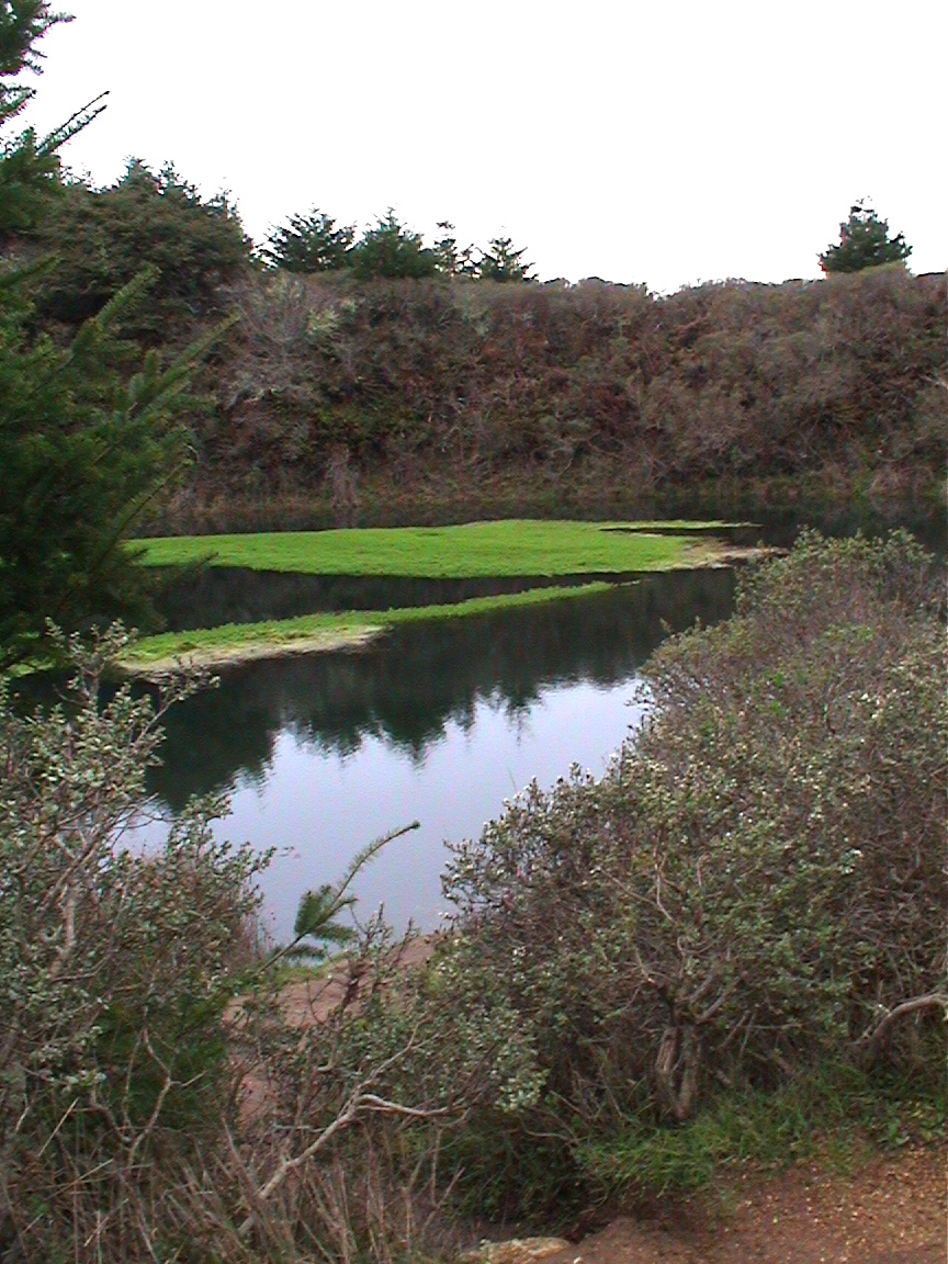
On the way north on the Coast Trail, you pass a small pond tucked away off to the left that's a startling green, even on the overcast January day we were there. A number of Marin hikers have posted notable photos of this little body of water. | 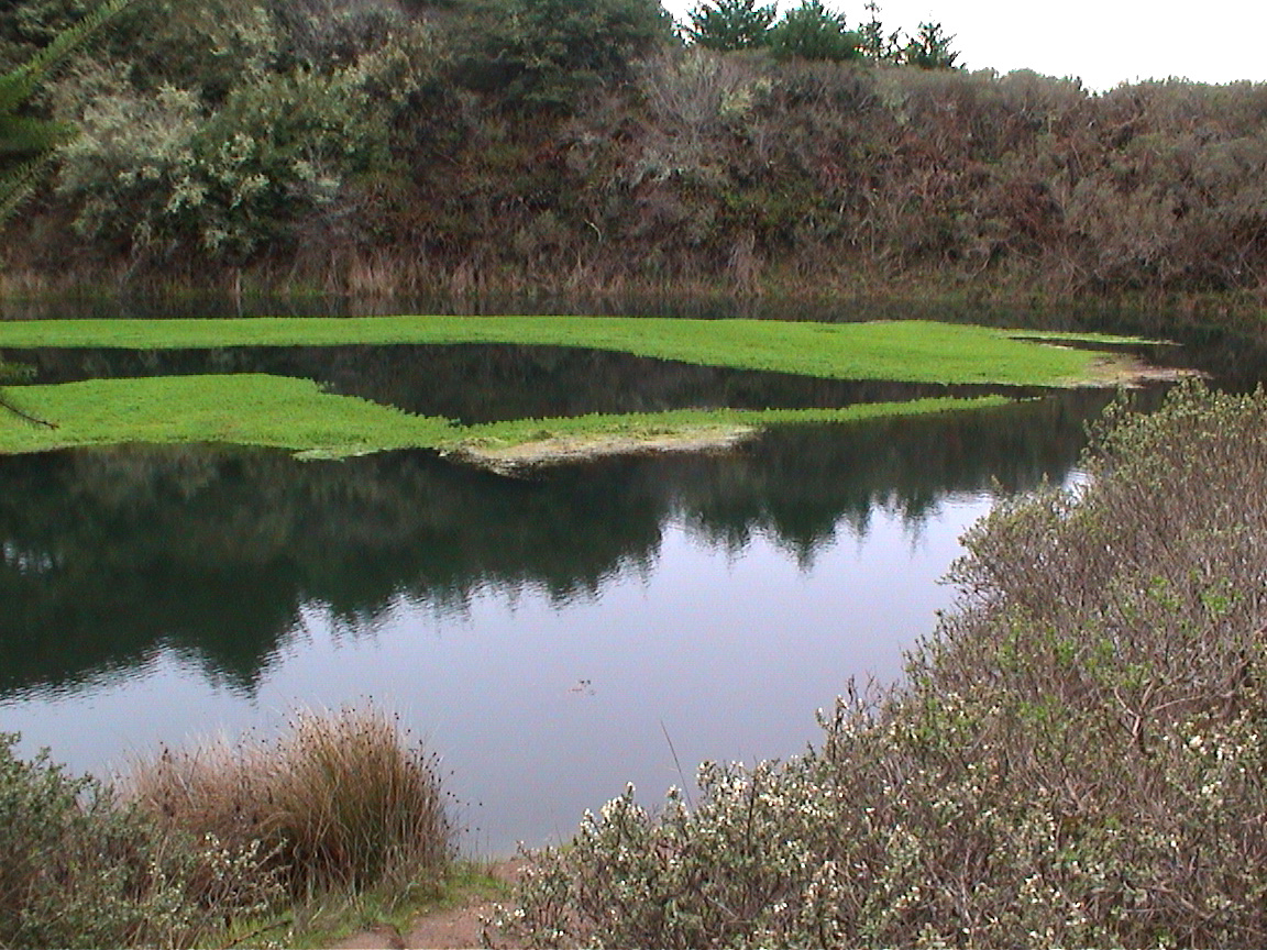 |
||
 |
||||
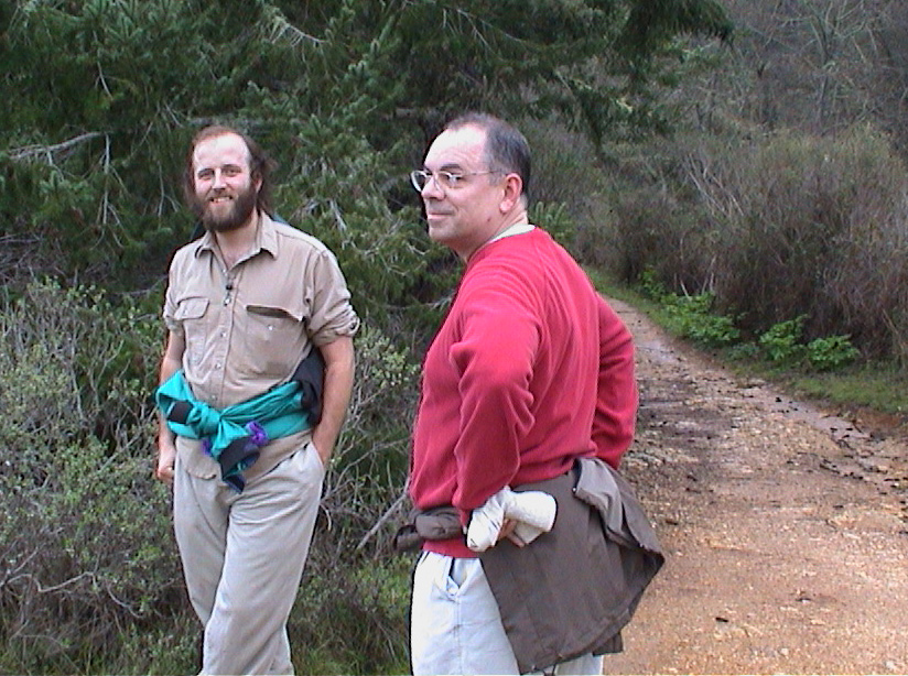 |
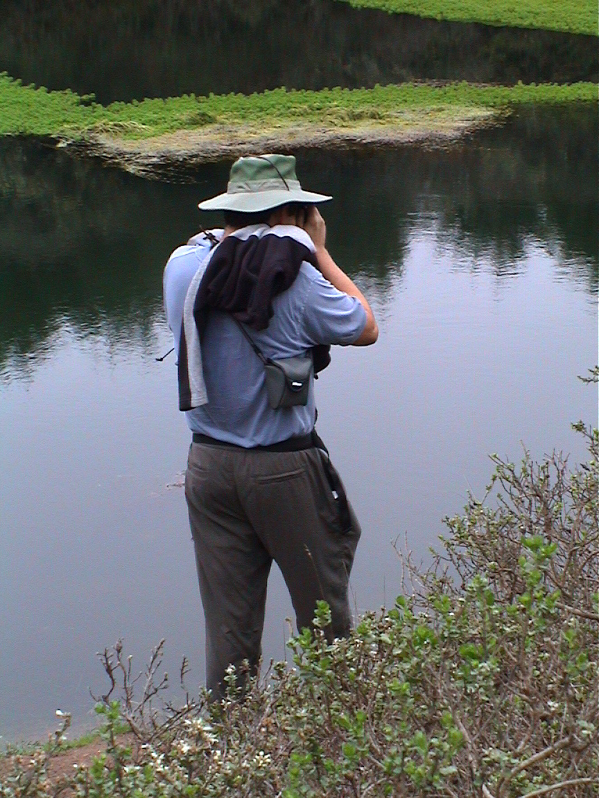
It was also a good place to gather and chat while pictures were taken. At left, Dan and Phil lounge (actually the two biggest shutterbugs in our group, despite their empty hands here). At right, Bill carefully sets up for his shot. | |||
Finding the Falls |
above photo © 2002 Dan Lyke |
||||
| Getting from the Coast Trail down to Alamere Falls is neither obvious nor easy. Some folks in the group knew from previous experience that it wasn't the main trail. We first tried a side trail that curled around Pelican Lake and gave up after a few minutes. Another hundred yards down the trail we tried a different side trail, which slithered through the chapparal for a quarter mile or so. For me, this meant accumulating a case of poison oak (I've become very sensitive to it. Thank goodness for Tecnu). | |||||
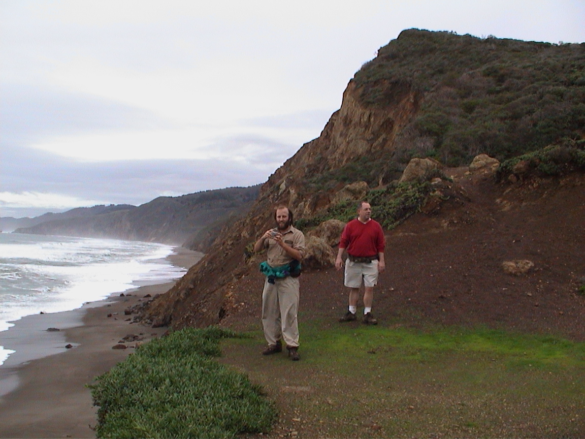 |
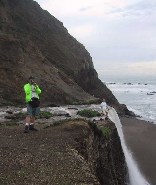
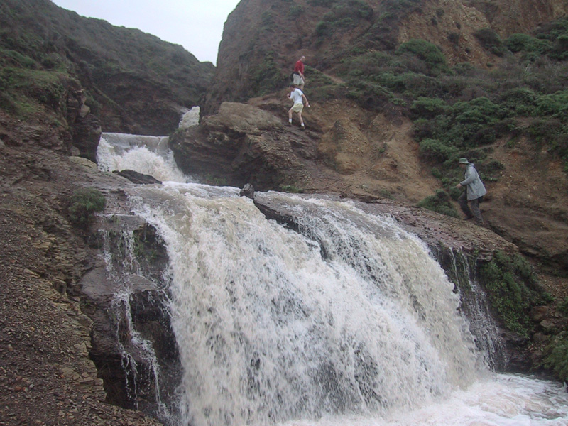
This side trail is not fully maintained, but if you're watching for it you should be able to find it. After finishing the trail traverse, including a section where the trail follows a narrow ditch, we came out alongside the upper falls (above right). We picked our way down and eventually across the creek and came out on a thirty foot high bluff overlooking the beach and the Pacific. Dan and Phil again (at left above) and Terrence (at right) celebrate our arrival. At left, your intrepid narrator takes a shot over the bluff. At right, Alamere Creek takes its final plunge. |
 |
|||
 above photo © 2002 Dan Lyke |
|||||
 |
|||||
The Main Event |
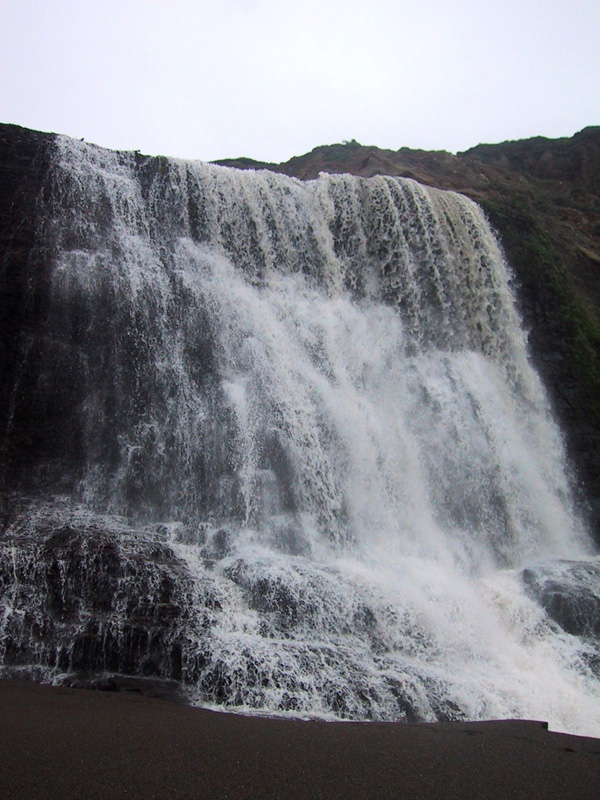
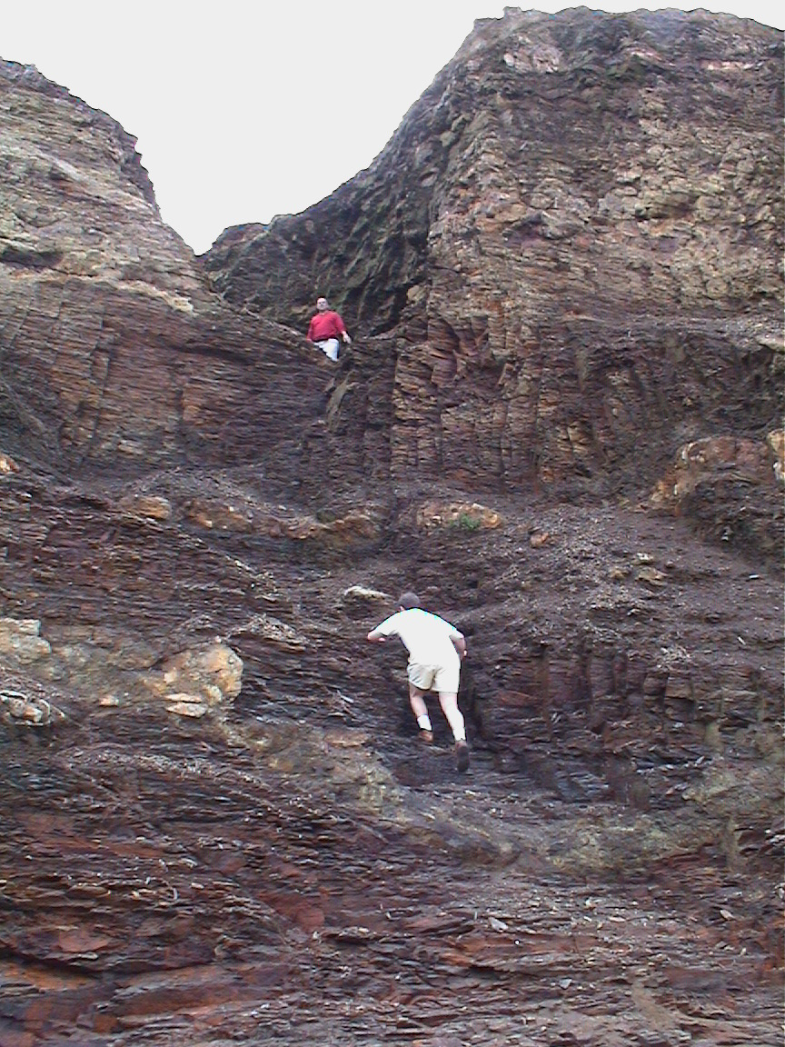
After the above-mentioned crossing of Alamere Creek from south to north, we followed a narrow side cleft which led down a steep and crumbly rock trail onto the beach about fifty feet from Alamere Fall's final plunge. At higher water levels, the stream crossing (and thus the entire route) might not be passable. | 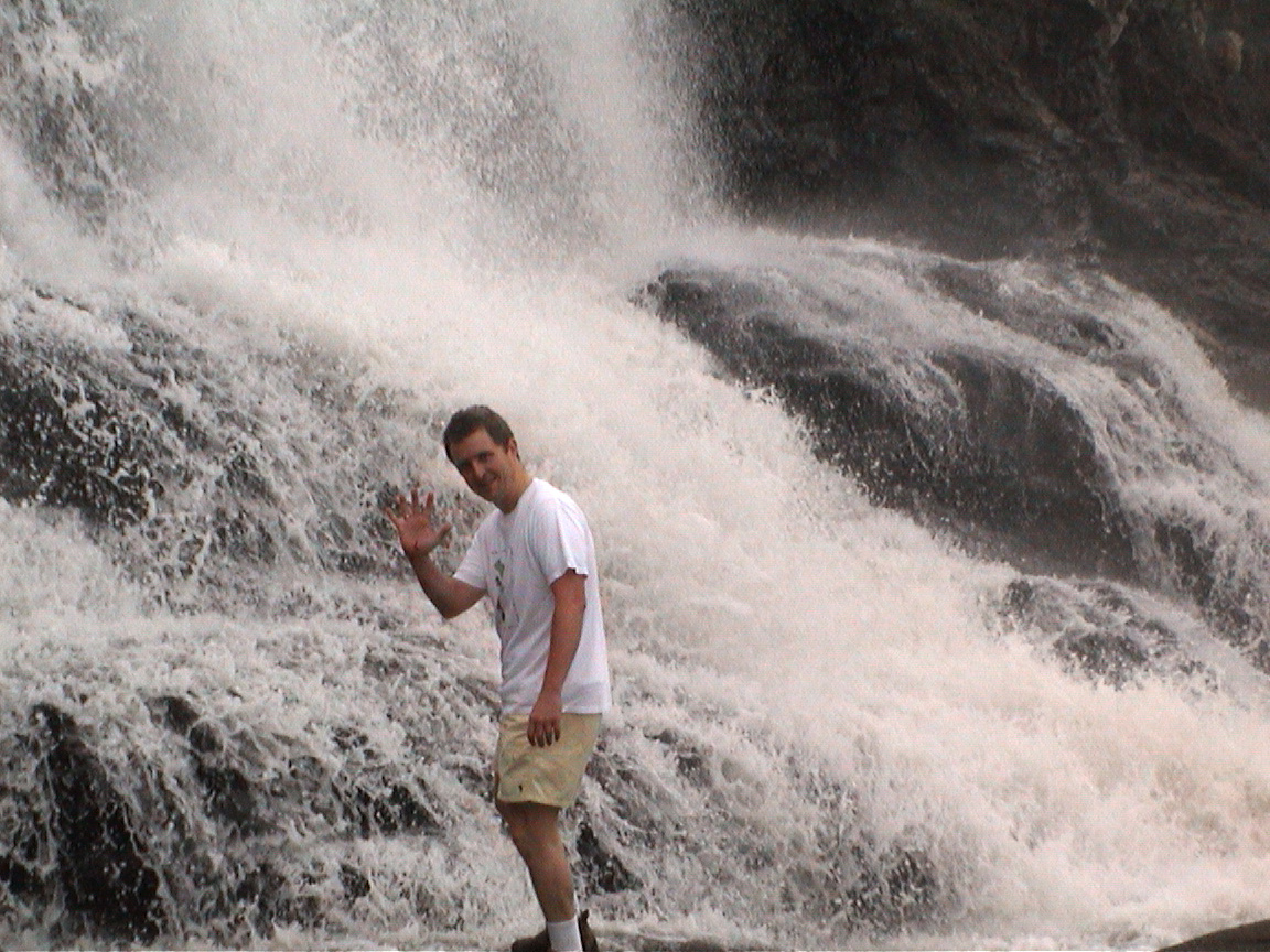 |
| Warning: The final portion of the side trail we took down to the beach at Alamere Falls is very loose talus (see below). It is not suitable for children or inexperienced hikers. | Above: Terrence waves for the kids. | |
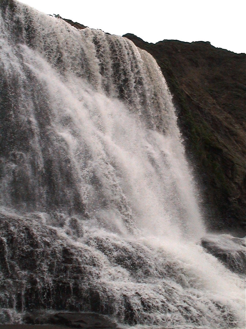 |
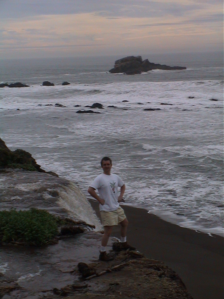
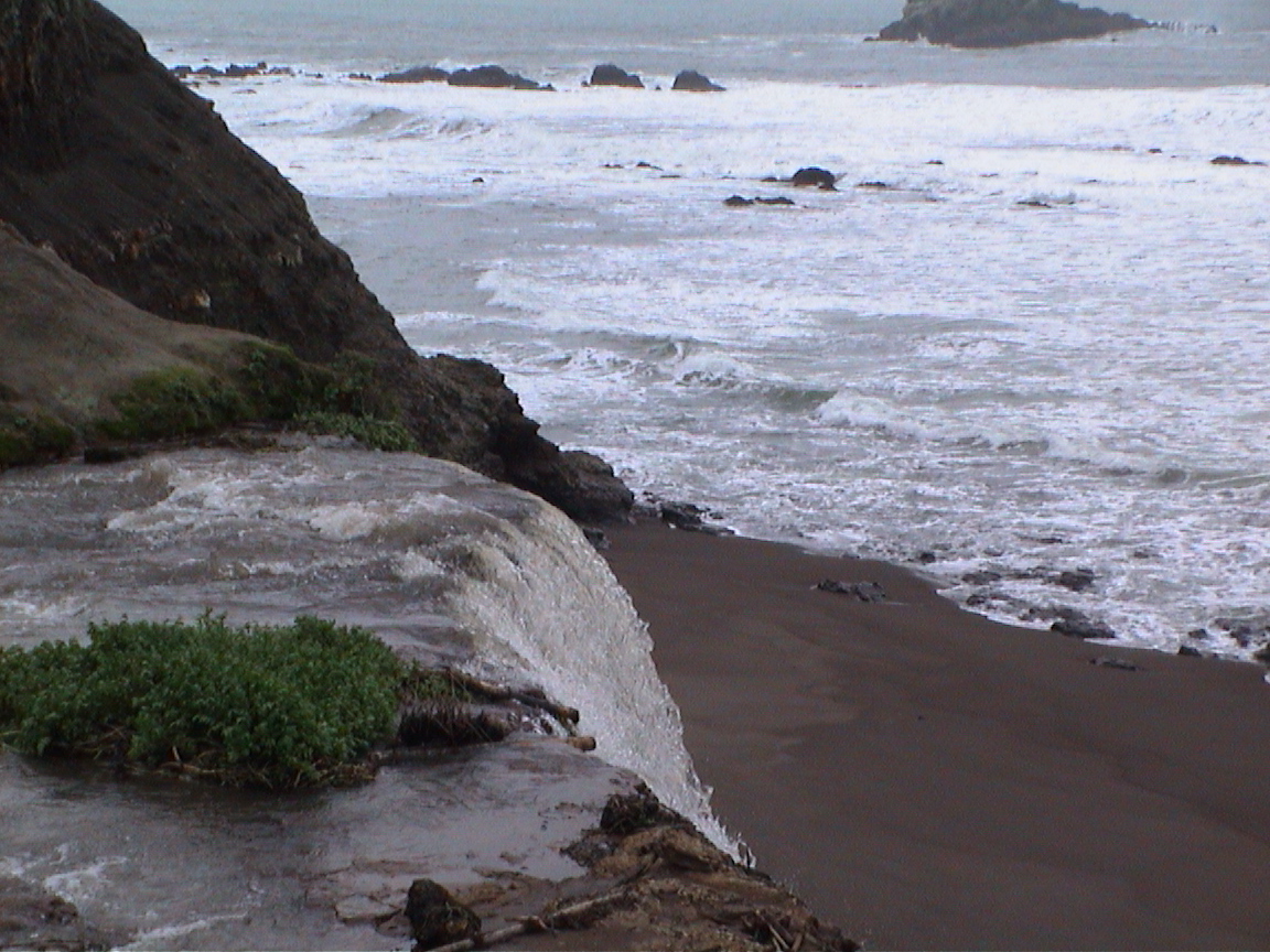
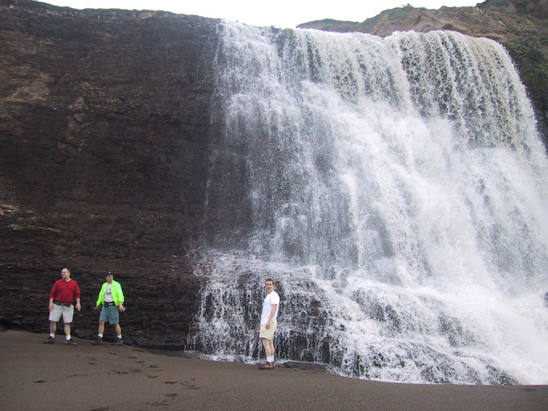
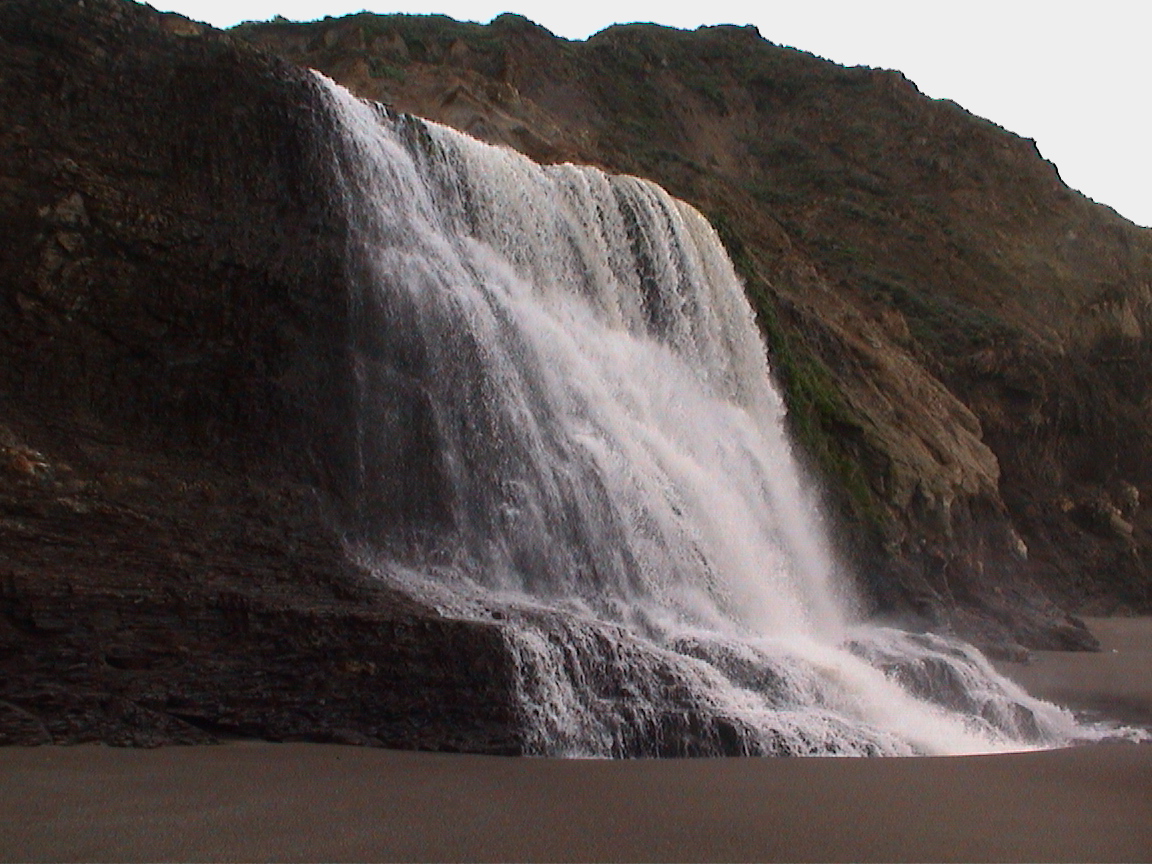
The final plunge of the falls is very pretty. A ribbon of water plunges over the bluff and crashes onto the beach twenty feet from the Pacific. As you can see, it's not a straight falls, but it's pretty loud nevertheless. Above right, Phil, Leo, and Terrence stand by, looking small next to the falls. And then you can check out some over views of the falls, and one of the view out. The January day we were there, there was quite a nice break out from the beach, as well as very unpredictable waves (a few folks ended up with wet hiking boots!). |
 above photo © 2002 Dan Lyke 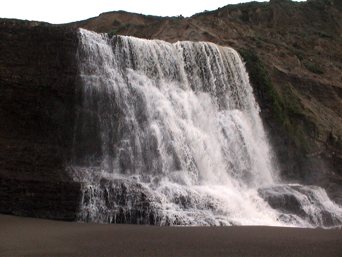 |
 |
 |
|
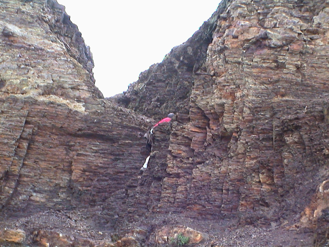
The Cleft |
Here's a couple shots of the narrow cleft we used to gain access to the beach. The rock in these pictures is a very fine, crumbly shale that made for treacherous footing. Although our group was pretty well used to clambering around boulders and slopes in Marin, we still had two folks with bloody knees after the descent (as usual, the ascent was much easier. | |
 |
||
|
Phil and Terrence head up, at left. At right, Phil's almost disappeared. The alternate, and official, route is to continue north, come out onto the beach, and hike back to the falls. If you're planning on going over the beach instead of up this little cut, you might want to check the tide tables. |
 |
|
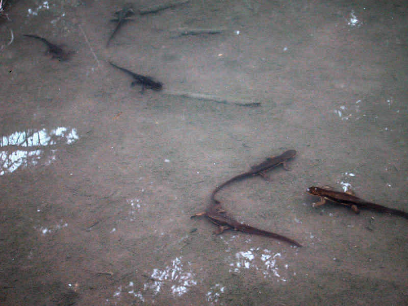
Epilog: Salamanders |
On the way back to the Palomarin trailhead, we noticed the puddles along the trail were crawling with salamanders. We had seen a couple on the way out, but nothing like the profusion of nonvertebrate life that was happening a few hours later. Although we didn't see any huge writhing balls of them, we found (and examined, at right!) plenty. | 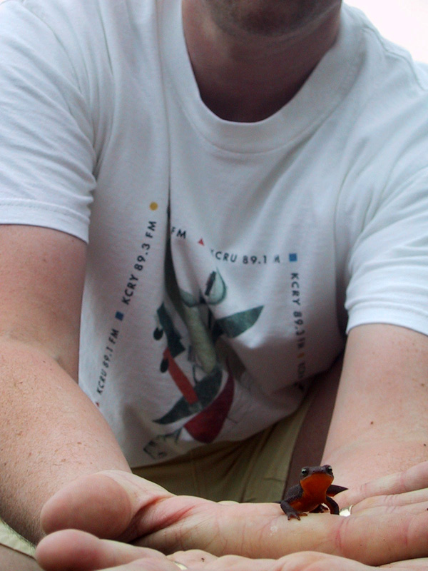 above photo © 2002 Dan Lyke |
||
 above photo © 2002 Dan Lyke |
||||